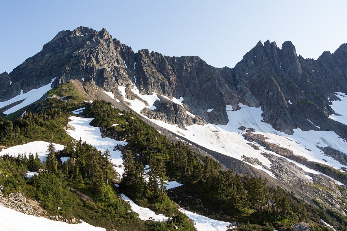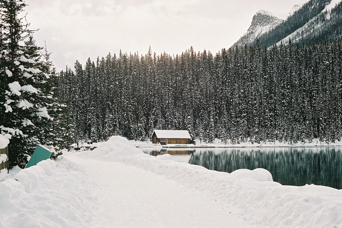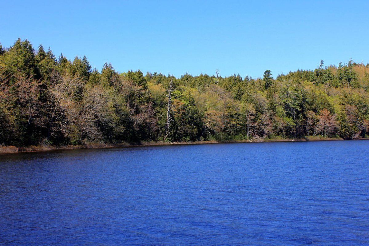
Michigan’s outdoor recreation is defined by the Great Lakes — the five lakes that touch its shores and create 3,288 miles of coastline (the longest freshwater coastline of any U.S. state), the world’s largest freshwater system, and a set of environments that range from the tropical-clear waters of northern Lake Michigan to the raw wilderness of Lake Superior’s Pictured Rocks shore. The state’s 11,000 inland lakes, 36,000 miles of streams and rivers, 100-plus state parks, and the sprawling Hiawatha, Ottawa, Huron-Manistee, and Marquette national forests open up access that rewards the full spectrum of outdoor enthusiasts — from casual beach visitors to serious backcountry travelers who find in Michigan’s Upper Peninsula one of the most remote wilderness environments east of the Mississippi.

Hiking: Blue-Green Waters and Boreal Forest
Pictured Rocks National Lakeshore in the Upper Peninsula holds the headline hiking on Lake Superior’s American shore — a 42-mile trail system connecting the sandstone cliffs, waterfalls, and Lake Superior beaches from Munising to Grand Marais. The Chapel Loop (10 miles, moderate) is the standout day hike in Michigan: it passes Chapel Falls (a 60-foot waterfall in old-growth hemlock forest), Chapel Lake, and the Chapel Rock arch (a sandstone formation with a lone white pine growing from its top, roots reaching down to the cliff face to drink from Lake Superior) before arriving at Chapel Beach on Lake Superior’s shore. The clear, cold water of Lake Superior — among the cleanest freshwater in North America, averaging about 40 degrees Fahrenheit — and the complete absence of motorboats on the National Lakeshore beaches create a beach experience unlike any other freshwater beach in the country.
Porcupine Mountains Wilderness State Park, Michigan’s largest state park at 59,000 acres in the western U.P., protects one of the biggest surviving old-growth forest tracts in the Midwest — a stand of sugar maple, yellow birch, and hemlock that was never logged and sets the ecological baseline for what pre-European Great Lakes forest looked like. The Lake of the Clouds overlook, a short walk from the parking area, opens onto the signature Michigan vista: the blue-black lake held in a forested basin below the escarpment, ringed by unbroken old-growth canopy. The park’s 90 miles of trails include the demanding Lake Superior Trail, which traces the lake’s shore through wilderness for 16 miles from the Presque Isle River to the Union Spring area.
In the Lower Peninsula, the North Country Trail follows the Manistee River for 23 miles through the Huron-Manistee National Forest — a riverside hike through pine-hemlock forest with the option of a multi-day backpacking trip ending at Manistee on Lake Michigan. The Sleeping Bear Dunes National Lakeshore trail network covers 100 miles of hiking through dune environments, maple-beech forest, and the shores of Lake Michigan and Glen Lake — the busiest hiking in northern lower Michigan, and a varied system that runs from casual beach walks to demanding cross-dune treks.
Paddling: Rivers, Lakes, and Open Water
The Au Sable River, flowing 138 miles from Grayling to Lake Huron through the Huron-Manistee National Forest, is Michigan’s best-loved canoeing river and a benchmark for flatwater paddling across the region. The AuSable River Canoe Marathon — held annually in late July, a grueling 120-mile non-stop race from Grayling to Oscoda that is the longest non-stop canoe race in North America — defines the river’s cultural weight within Michigan’s outdoor community. Recreational paddling here is gentler: multi-day trips of 2–5 days through the National Forest, with designated canoe camping sites, give intimate access to a river corridor of pine and cedar that the national forest boundary has shielded from development. The Au Sable’s brown trout and brook trout populations (the river carries the Michigan DNR’s Blue Ribbon trout-stream designation) also make it the leading fly fishing water in the Lower Peninsula.
Sea kayaking on Lake Superior along the Pictured Rocks counts among the finest paddling in North America — the 15-mile section of cliffs, sea caves, arches, and beaches from Munising to Miners Beach is paddlable in a day under calm conditions, or over 2–3 days with camping on National Lakeshore beaches. Conditions on Lake Superior turn fast: the lake generates its own weather, fog can swallow the cliff faces within minutes, and swells of 4–8 feet build with little warning, so this water demands experienced sea kayakers with appropriate equipment. The Apostle Islands on the Wisconsin shore (40 miles from the Michigan U.P.) and the Pictured Rocks together anchor sea kayaking across the upper Great Lakes, and the Munising-based outfitters run guided trips for paddlers without the skills for unsupported Lake Superior crossings.

Skiing: Midwest’s Best Vertical
No state in the Midwest has built out a deeper ski industry, and it rests on the consistent lake-effect snowfall that the Lower Peninsula’s western communities receive from Lake Michigan, the Upper Peninsula’s deep winter snowpack, and a skiing tradition that has made Michiganders some of the most active skiers in any non-mountain state. The Boyne Resorts company (Michigan-headquartered) operates the region’s largest ski network: Boyne Mountain (the Boyne Falls resort, about 60 miles south of the Mackinac Bridge) and The Highlands at Harbor Springs deliver the fullest northern Michigan ski experiences, with modern snowmaking, terrain variety, and lodge infrastructure that makes them genuine destination resorts rather than just local hills.
Crystal Mountain, near Thompsonville and 28 miles south of Traverse City, is the strongest four-season resort in the state — Nordic skiing on 25 kilometers of groomed trails, alpine skiing on 59 runs (375-foot vertical), and summer golf and mountain biking that keep it busy year-round. Nub’s Nob near Harbor Springs, Shanty Creek near Bellaire, and Caberfae Peaks near Cadillac round out the northern Michigan options. In the U.P., Porcupine Mountains Wilderness State Park runs a small downhill area on the park’s escarpment, but the more meaningful U.P. winter recreation is cross-country skiing and snowshoeing through the wilderness trail systems — deep snow and boreal forest make this some of the finest cross-country terrain in the Midwest.
Fishing: 11,000 Lakes and the Great Lakes Fishery
Michigan’s fishing culture sits at the center of the state’s identity — 11,000 inland lakes (averaging one per square mile in many northern Lower Peninsula counties), 36,000 miles of rivers and streams, and 3,288 miles of Great Lakes shoreline add up to access that is essentially unlimited. The Great Lakes fishery supports charter operations out of every significant harbor — salmon (king and coho) and steelhead runs in Lake Michigan and Lake Huron’s tributaries, walleye and perch on Lake Erie’s western basin, and lake trout on Lake Superior. The Detroit River ranks among the world’s elite walleye fisheries, drawing tournament anglers who compete for fish that count among the heaviest walleye caught anywhere. Inland, the lake fishing — largemouth and smallmouth bass, northern pike, muskie (the Michigan DNR manages muskie stocking programs in dozens of lakes), walleye, and panfish — serves the casual angler and the dedicated specialist alike.
Cycling: Rails to Trails
Nowhere in the Midwest is the rail-trail network more extensive than in Michigan — more than 2,400 miles of converted railroad corridors carry car-free cycling across Michigan. The Iron Belle Trail, Michigan’s designated end-to-end state trail, runs 2,000-plus miles from Belle Isle in Detroit to Ironwood in the western U.P., combining rail trails, forest roads, and dedicated path segments into the longest designated trail system in any single state. The Hart-Montague Trail (22 miles through the orchards of Oceana and Muskegon Counties), the Kal-Haven Trail (33 miles from Kalamazoo to South Haven), and the Mackinaw City to Cheboygan trail network carry the heaviest traffic among Lower Peninsula rail trails. The DALMAC (Dick Allen Lansing to Mackinaw Cycle Tour) — a 4-day, 380-mile organized ride from Lansing to Mackinaw City held over Labor Day weekend — is Michigan’s signature cycling event, drawing more than 1,000 riders on a route that crosses the full breadth of the Lower Peninsula.
Frequently Asked Questions
What makes Pictured Rocks National Lakeshore exceptional for hiking and kayaking?
Pictured Rocks National Lakeshore in Michigan’s Upper Peninsula holds the headline scenery on Lake Superior’s American shore — a 42-mile trail system connecting sandstone cliffs, waterfalls, and Lake Superior beaches from Munising to Grand Marais. The Chapel Loop (10 miles, moderate) is the standout day hike in Michigan: it passes Chapel Falls (a 60-foot waterfall in old-growth hemlock forest), Chapel Lake, and the Chapel Rock arch — a sandstone formation with a lone white pine growing from its top, its roots reaching down the cliff face to Lake Superior. Lake Superior here averages about 40°F year-round and is among the cleanest, clearest freshwater in North America. Sea kayaking the 15-mile cliff section from Munising to Miners Beach counts among the finest paddling in North America — the sea caves, arches, and multicolored sandstone cliffs create a paddling environment with no equivalent in the Great Lakes. Lake Superior’s conditions change rapidly, which demands experienced paddlers with appropriate equipment.
What does the Porcupine Mountains Wilderness State Park offer?
Porcupine Mountains Wilderness State Park, Michigan’s largest state park at 59,000 acres in the western Upper Peninsula, protects one of the biggest surviving old-growth forest tracts in the Midwest — a stand of sugar maple, yellow birch, and hemlock that was never logged and sets the ecological baseline for what pre-European Great Lakes forest looked like. The Lake of the Clouds overlook, a short walk from the parking area, opens onto the postcard Michigan vista: the blue-black lake held in a forested basin below the escarpment, ringed by unbroken old-growth canopy. The 90-mile trail system includes the demanding Lake Superior Trail, which traces the lake’s shore through wilderness for 16 miles. In winter, the park runs a small downhill area on its escarpment, and the deep snowpack and boreal forest make it some of the finest cross-country terrain in the Midwest.
What makes the Au Sable River Michigan’s most beloved paddling destination?
The Au Sable River flows 138 miles from Grayling to Lake Huron through the Huron-Manistee National Forest — Michigan’s best-loved canoeing river and a benchmark for flatwater paddling across the region. The Au Sable River Canoe Marathon, held annually in late July, is a grueling 120-mile non-stop race from Grayling to Oscoda — the longest non-stop canoe race in North America, which speaks to the river’s cultural weight within Michigan’s outdoor community. Recreational multi-day paddling trips of 2–5 days through the National Forest use designated canoe camping sites in a river corridor of pine and cedar that the national forest boundary has shielded from development. The Au Sable also carries the Michigan DNR’s Blue Ribbon trout-stream designation — its brown trout and brook trout populations make it the leading fly fishing water in the Lower Peninsula. The town of Grayling is the primary outfitter center for Au Sable canoe trips.
What skiing does Michigan offer?
Michigan’s ski industry is the most developed in the Midwest, driven by consistent lake-effect snowfall from Lake Michigan on the Lower Peninsula’s western communities and by the Upper Peninsula’s deep winter snowpack. Boyne Resorts runs the region’s largest ski network: Boyne Mountain near Boyne Falls and The Highlands at Harbor Springs deliver the fullest northern Michigan ski experiences, with modern snowmaking, terrain variety, and full lodge infrastructure. Crystal Mountain near Thompsonville, 28 miles south of Traverse City, is the strongest four-season resort in the state — Nordic skiing on 25 kilometers of groomed trails, alpine skiing on 59 runs with a 375-foot vertical drop, and summer golf and mountain biking. Nub’s Nob near Harbor Springs, Shanty Creek near Bellaire, and Caberfae Peaks near Cadillac round out the northern Michigan options. The mix of lake-effect snow and Michigan’s skiing tradition produces one of the most active ski cultures of any non-mountain state in the country.
What makes Michigan’s rail-trail cycling network the most extensive in the Midwest?
Michigan has more than 2,400 miles of converted railroad corridors that open up car-free cycling across the state — the most extensive rail-trail network in the Midwest. The Iron Belle Trail, Michigan’s designated state trail system, runs 2,000-plus miles from Belle Isle in Detroit to Ironwood in the western Upper Peninsula, combining rail trails, forest roads, and dedicated path segments into the longest designated trail system in any single state. The Hart-Montague Trail (22 miles through the orchards of Oceana and Muskegon Counties), the Kal-Haven Trail (33 miles from Kalamazoo to South Haven), and the Mackinaw City to Cheboygan trail carry the heaviest traffic among Lower Peninsula rail trails. The DALMAC (Dick Allen Lansing to Mackinaw Cycle Tour) — a 4-day, 380-mile organized ride from Lansing to Mackinaw City held over Labor Day weekend — is Michigan’s signature cycling event, drawing more than 1,000 riders on a route crossing the full breadth of the Lower Peninsula.