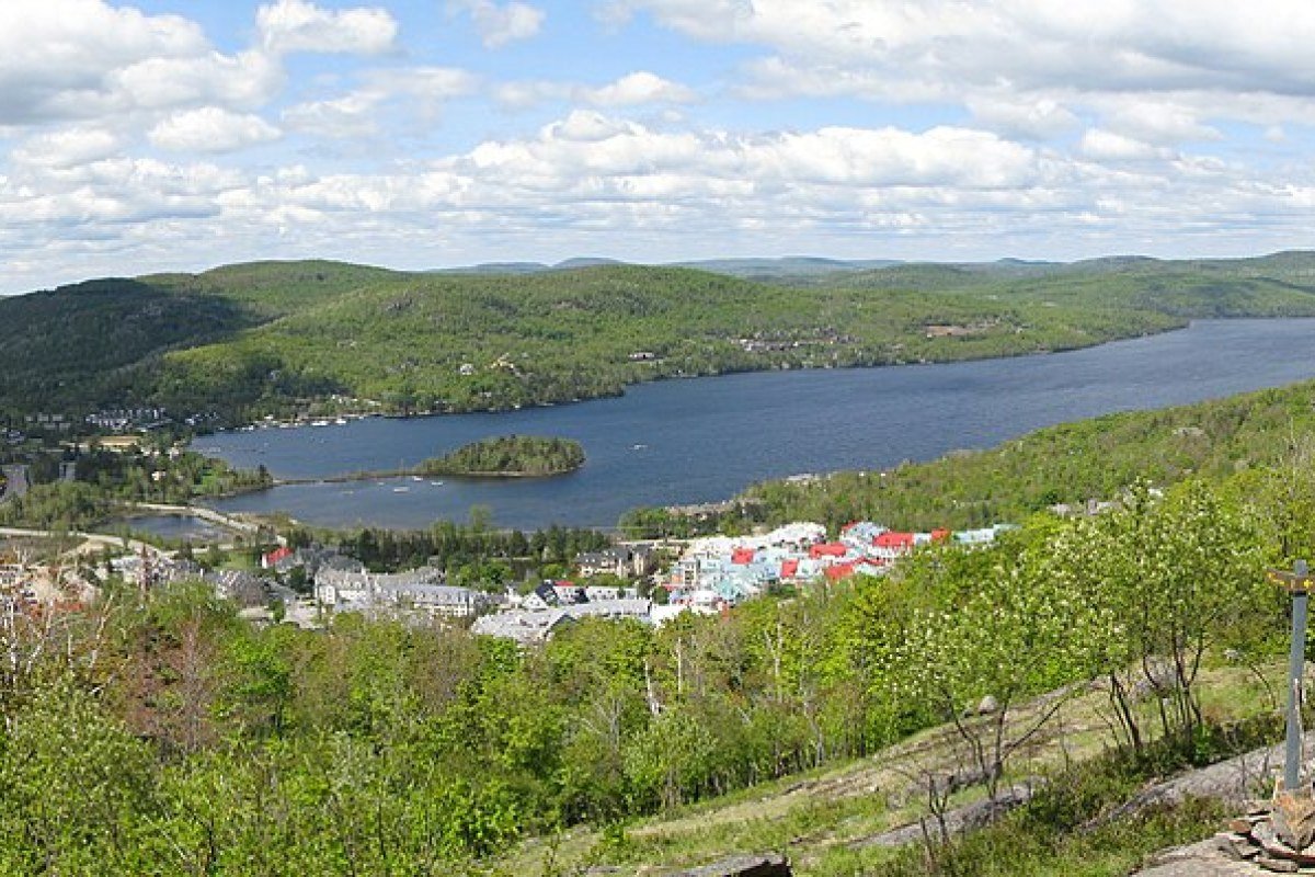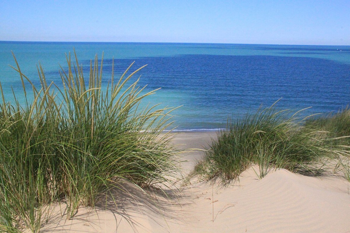
Few states are as routinely sold short on outdoor recreation as Indiana, a casualty of the flat-farmland stereotype that hides a genuine spread of landscapes: Lake Michigan dunes, limestone canyon country, forest-covered glacial moraines, and river corridors that open up paddling, fishing, and trail access in every season. Look past the highway-visible monotony of central Indiana’s corn and soybean fields, as any curious resident or visitor eventually does, and the payoff is a set of outdoor experiences that are specific, frequently surprising, and – in the case of the dunes ecosystem – among the best of their kind in the country.

Indiana Dunes: One of America’s Most Biodiverse National Parks
Indiana Dunes National Park protects roughly 15,000 acres of Lake Michigan shoreline that holds one of the most biodiverse ecosystems in the National Park system – more than 1,100 plant species, a density per acre that outstrips many larger and more celebrated parks. The reason is dune succession: as dunes form, stabilize under vegetation, and slowly give way to forest over thousands of years, each stage along the way supports its own distinct plant and animal community. Walk 500 feet inland from the shoreline to the first forested ridge and you cross communities that, in most other landscapes, would be separated by hundreds of miles of latitude.

The hiking ranges widely in effort. The Dune Succession Trail (0.9 miles) delivers the ecology lesson on a short, accessible loop lined with interpretive signs. The Cowles Bog Loop (4.7 miles) runs through the interdunal wetlands where botanical diversity peaks. The Glenwood Dunes Trail system – long known as the Ly-co-ki-we Trail – offers about six miles of interconnected sandy loops through mixed dune and forest, and the Great Marsh Trail (1.3 miles) crosses the restored wetland at the edge of the dune complex, a magnet for migratory shorebirds in spring and fall.

Swimming at the national park’s West Beach and at the adjacent Indiana Dunes State Park rivals any Great Lakes beach day: clear water, fine sand, and the small thrill of picking out the faint Chicago skyline across 30 miles of open lake. Both beach areas draw real crowds on summer weekends, so an early-morning weekday visit buys you the same scene without the congestion.

Brown County State Park: Fall Foliage and Equestrian Trails
Brown County State Park – at about 15,800 acres, the largest in Indiana – packs the most concentrated fall color in the Midwest onto the wooded hills between Nashville and Bloomington. Its hardwood forest of oaks, maples, and tulip poplars turns reliably in mid-October. The display can’t match the scale of New England’s maple country, but it’s far more reachable from the Midwest’s population centers, and the rolling terrain of small valleys and ridges supplies the photographic foreground that flat land never can.
The park threads about 18 miles of hiking trails through that terrain, from the rugged Fire Tower Trail near the third-highest point in Indiana down to the easy loop around Ogle Lake (1.5 miles), one of the park’s two fishing lakes. Brown County is also the state’s premier equestrian park: roughly 70 miles of bridle trails, routed separately from the hiking paths and served by dedicated horse camps, draw riders from across the Midwest. Mountain bikers get close to 30 miles of purpose-built singletrack, and the rolling grades make it the most technically engaging riding the state offers.
Shades State Park and Turkey Run: Canyon Country
West-central Indiana hides two state parks – Turkey Run and Shades – where narrow canyons cut by glacial meltwater slice through the thick sandstone of the Mansfield Formation. Up to 100 feet deep and filled with fern gardens and mossy boulders, the canyons hold a microclimate so unlike the farmland above them that they shelter plant species more typical of regions hundreds of miles away.

Turkey Run’s best-known trails follow the creek bottoms and canyon floors. Trail 3, the most distinctive hike in the state, sends you wading through Rocky Hollow’s narrow sandstone corridor, crossing streams on stepping stones and log bridges, and finally climbing a set of fixed ladders out of Bear Hollow to the ridgetop. It’s a short route – under two miles – but the mix of physical challenge and geological drama makes it stick in the memory in a way Indiana hiking rarely manages. Trail 9 traces Sugar Creek, where canoe camping is excellent and the forested bluff above the water frames some of the prettiest river scenery in the state.
Paddling: Sugar Creek, Blue River, and the Tippecanoe
Indiana’s small rivers and creeks make for some of the best beginner and intermediate canoeing in the Midwest, mixing flat water with the occasional mild riffle. Sugar Creek, which runs through both Turkey Run and Shades, carries Class I-II water through the same forested canyons; outfitters near Crawfordsville rent canoes and kayaks, and multi-day floats are possible using Turkey Run’s primitive camping. Farther south, the Blue River – the first stream named to Indiana’s Natural, Scenic and Recreational River system – runs clear and spring-fed through cave country, with Class I-II rapids threading a corridor of limestone bluffs and mixed forest. Up north, the Tippecanoe River winds through glacial lake country past several state parks, offering easy paddling and dependable wildlife: herons, beavers, otters, and deer along the banks.
Cycling: The Monon Trail and Cardinal Greenway
Indiana’s rail-trail network is among the most developed and best-used in the Midwest. The Monon Trail follows the old Monon Railroad corridor for roughly 28 paved miles, running from downtown Indianapolis north through Carmel to Westfield and on toward Sheridan, and it threads straight through the North Side’s neighborhoods and their liveliest street-level retail. Along the Broad Ripple and Westfield stretches, food, coffee, and shops sit right off the path, which makes the trail as useful for errands as it is for exercise. The Cardinal Greenway (62 miles, Richmond to Marion) is one of the longest rail-trails in the region, cutting through post-industrial small towns and farm country in east-central Indiana. Closer in, the Monon Connection and the Central Canal Towpath knit together a downtown cycling network that grows a little more connected with each round of infrastructure spending.
None of this is spectacular in the manner of the Rocky Mountain or Pacific Coast states – no 14,000-foot peaks, no crashing surf. Indiana trades instead in ecological richness, accessible beauty, and the quiet reward of landscapes that open up to anyone willing to pay attention. The dunes and their plant diversity, the canyon scramble at Turkey Run, the clear water of the Blue River: these are experiences of real quality and specificity, the kind that build lasting attachment in the residents and visitors who take the time to seek them out – part of what makes the state such an affordable place to settle in the Midwest.
Frequently Asked Questions
What makes Indiana Dunes one of America’s most biodiverse national parks?
Indiana Dunes National Park, on Lake Michigan’s southern shore, packs more than 1,100 plant species into roughly 15,000 acres – a per-acre density that exceeds many larger and more famous parks. The cause is dune succession: the transition from open beach to stabilized dune to forest plays out within about 500 feet, and each stage supports an entirely different plant and animal community, so a short walk inland crosses communities that elsewhere would be separated by hundreds of miles of latitude. The Cowles Bog Loop (4.7 miles) runs through the interdunal wetlands where botanical diversity peaks, and the Glenwood Dunes (former Ly-co-ki-we) Trail system adds about six miles of sandy loops through mixed dune and forest. Swimming at West Beach and Indiana Dunes State Park offers clear water, fine sand, and the Chicago skyline faintly visible across 30 miles of open lake.
What is Turkey Run State Park and what makes canyon hiking there unique?
Turkey Run State Park, in west-central Indiana along Sugar Creek, protects narrow canyons carved by glacial meltwater through the thick sandstone of the Mansfield Formation – up to 100 feet deep, filled with fern gardens and mossy boulders, and holding a microclimate so unlike the surrounding farmland that it shelters plant species typical of regions hundreds of miles away. Trail 3, the park’s signature route, sends hikers wading through Rocky Hollow’s narrow sandstone corridor, crossing streams on stepping stones, and climbing fixed ladders out of Bear Hollow – the most physically distinctive hike in Indiana, and under two miles long. Shades State Park, a few miles away, offers similar canyon geology with noticeably fewer visitors.
What paddling does Indiana offer?
Indiana’s rivers deliver excellent flatwater and mild whitewater paddling. Sugar Creek, through Turkey Run and Shades, carries Class I-II water through wooded canyon country, with canoe and kayak rentals from outfitters near Crawfordsville and multi-day camping floats possible via Turkey Run’s primitive sites. The Blue River in southern Indiana – the first stream added to the state’s Natural, Scenic and Recreational River system – runs clear and spring-fed through cave country past limestone bluffs, with Class I-II rapids. The Tippecanoe River in northern Indiana flows through glacial lake country with easy paddling and dependable wildlife: herons, beavers, otters, and deer along the banks. Indiana’s paddling is understated relative to its quality.
What does Brown County State Park offer?
Brown County State Park, at about 15,800 acres Indiana’s largest, holds the most concentrated fall color in the Midwest across the wooded hills between Nashville and Bloomington, with reliable peak color in mid-October. Roughly 18 miles of hiking trails range from the rugged Fire Tower Trail to the easy 1.5-mile loop around Ogle Lake. Brown County is also Indiana’s premier equestrian park, with about 70 miles of bridle trails and dedicated horse camps that draw riders from across the Midwest, plus close to 30 miles of mountain-bike singletrack on rolling terrain that has no equal in the state’s flatter regions.
What cycling infrastructure does Indiana offer?
Indiana’s rail-trail network is among the most developed in the Midwest. The Monon Trail (about 28 paved miles from downtown Indianapolis north through Carmel and Westfield toward Sheridan) follows the historic Monon Railroad corridor through Indianapolis’s North Side neighborhoods; along the Broad Ripple and Westfield stretches, food, coffee, and shops sit directly off the path, making the trail useful for errands as well as exercise. The Cardinal Greenway (62 miles, Richmond to Marion) is one of the longest rail-trails in the region, passing through post-industrial small towns and farm country. The Monon Connection and Central Canal Towpath form a downtown cycling network that grows more connected with each round of infrastructure investment.