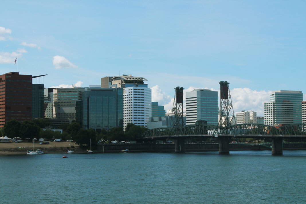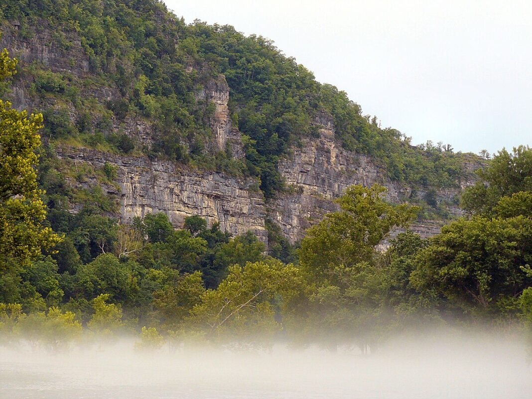
Utah’s outdoor recreation is defined by the sharp contrast between its northern and southern halves — the Wasatch Range’s world-class ski terrain (500+ inches of annual snowfall in the best years, the light champagne powder that Utah licenses as “the Greatest Snow on Earth”) and the Colorado Plateau’s red rock canyon country that contains five national parks and some of the most dramatic desert landscape on Earth. For residents of the Wasatch Front cities, both extremes are accessible within hours — skiing at a world-class resort in the morning and driving toward the desert canyons in the afternoon is a lifestyle reality that defines Utah’s outdoor character. No state in the country offers this combination of alpine and desert recreation in such close proximity to its major population centers.
Wasatch Range Skiing: The Greatest Snow on Earth
Utah’s ski terrain is concentrated along the Wasatch Range east of Salt Lake City, with the major resorts organized into three geographic clusters:
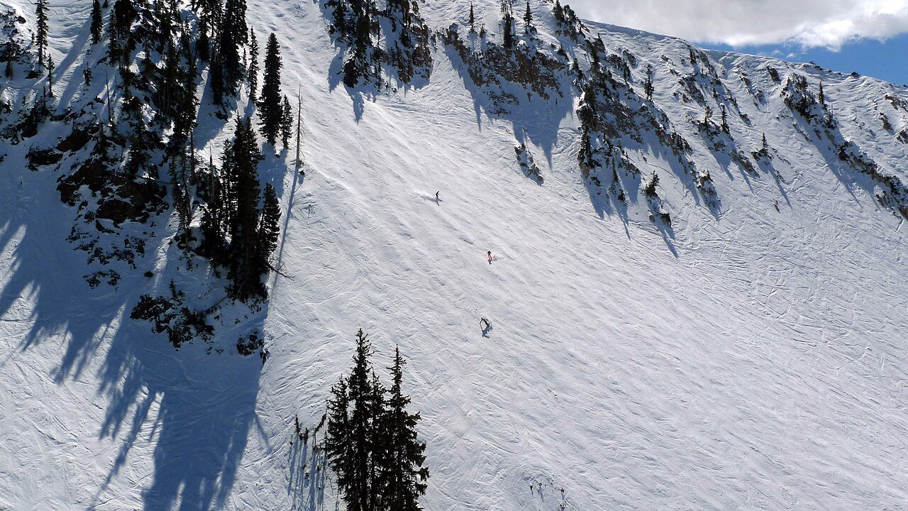
Little Cottonwood Canyon holds Alta Ski Area (skiers-only; legendary powder skiing; average 500+ inches annually; expert-focused, with some of the steepest, most demanding runs in American skiing) and Snowbird (snowboarders welcome; 3,240 vertical feet — the largest in Utah; frequent 100-inch powder year totals and an aerial tram to the 11,000-foot summit). Big Cottonwood Canyon has Brighton (family-friendly; excellent terrain parks; one of the most affordable Utah season passes) and Solitude (less crowded than the Cottonwood neighbors; excellent intermediate terrain; a Nordic center connecting to the ridgeline). Park City area encompasses Park City Mountain (7,300 combined acres with Canyons; on the Epic Pass; diverse terrain for all abilities) and Deer Valley (skiers-only; the benchmark for grooming and service in North American skiing, and the resort of choice for anyone who values comfort alongside terrain quality).
Zion National Park: Angels Landing and The Narrows
Zion’s two signature hikes sit at opposite ends of the park’s landscape. Angels Landing (5.4 miles RT, 1,488-foot elevation gain) ascends to a narrow fin of rock with sheer 1,000-foot drops on both sides — the final half-mile requires chains bolted into the rock and a permit (lottery system through Recreation.gov) to manage crowds. The payoff is a summit view of the main Zion Canyon that ranks with the best in the national park system. The Narrows (bottom-up approach, up to 9.4 miles RT) follows the Virgin River through a slot canyon where the river IS the trail — ankle-to-thigh-deep wading through cold water between walls that narrow to 20 feet while rising 2,000 feet overhead. Standing in the narrowest section, with barely enough sky overhead to cast light, is unlike anything else in North America.
Arches National Park: Stone Windows on the Desert
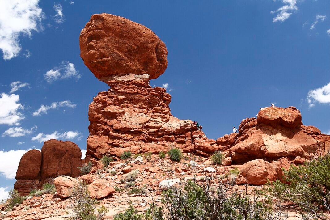
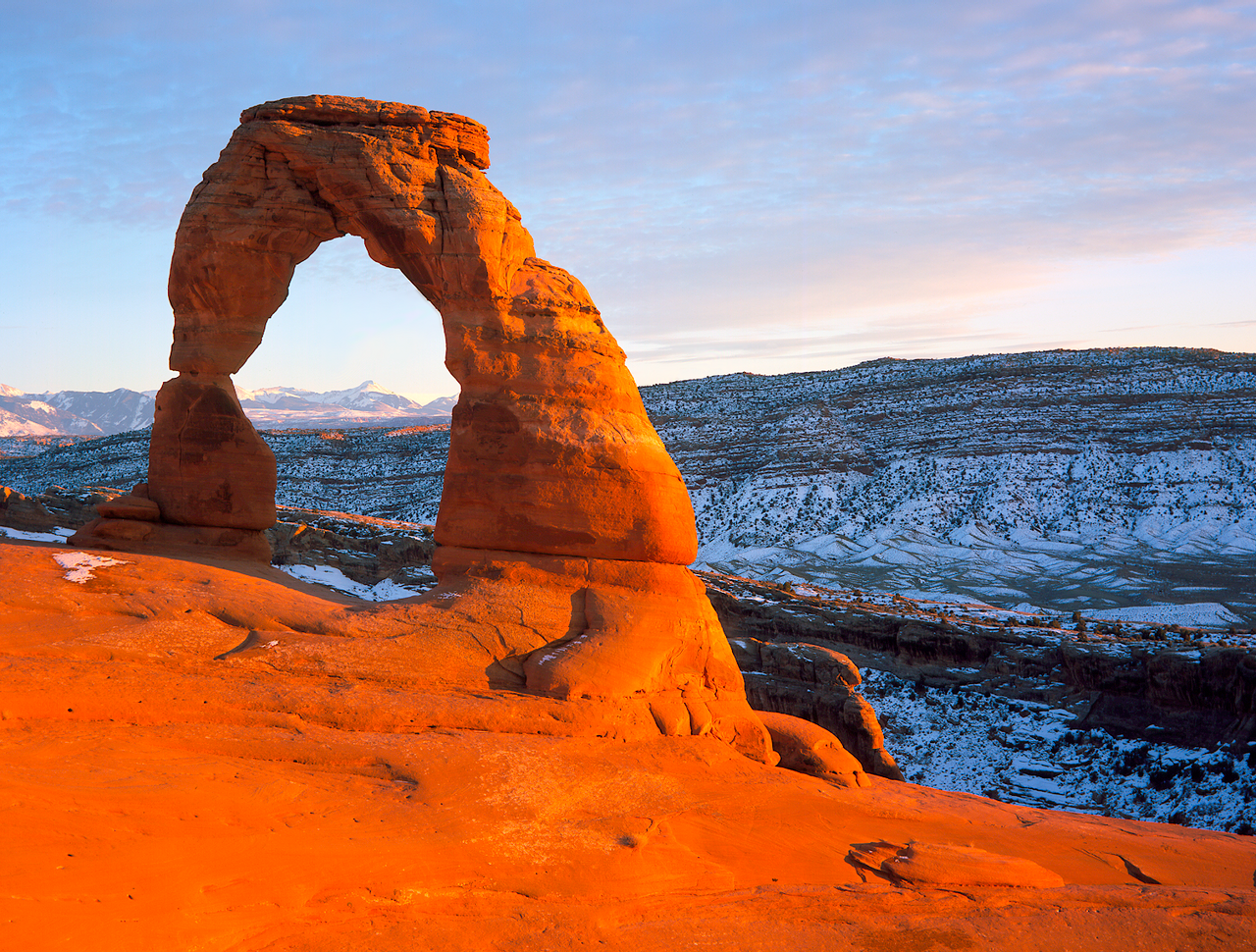
Arches contains more than 2,000 cataloged natural sandstone arches — the highest concentration in the world — ranging from small weathered holes in fins to massive freestanding structures. Delicate Arch (3 miles RT, moderate) is the iconic image on Utah’s license plates — a 52-foot freestanding arch at the rim of a slickrock bowl with views over the La Sal Mountains. The hike is deceptively exposed and sun-drenched; bring twice the water you think you need. Landscape Arch (the longest natural arch in North America at 290 feet, reached via the Devils Garden trail, 1.6 miles RT) is equally striking. The timed-entry reservation system that ran during peak season in prior years ended for 2026, so no advance ticket is needed to drive in — but parking still fills fast, and arriving before 8am or after 4pm sidesteps the worst summer heat and the midday crush at the trailheads.
Canyonlands: The Wilderness Park
Canyonlands National Park is Utah’s largest and most wild — 337,598 acres divided by the Colorado and Green Rivers into three separate districts accessible only by different roads. Island in the Sky (the easiest district to reach, 32 miles from Moab) offers drive-up mesa-top viewpoints 1,000 feet above the canyon floor with panoramas of the entire Colorado Plateau — Grand View Point overlooks a 100-mile sweep of carved desert that stops most visitors in their tracks. The Needles district (75 miles from Moab) holds the best multi-day backpacking in Utah — routes through the red-and-white banded sandstone spires require advance planning and backcountry permits but deliver a solitude the more-visited parks can’t match.
Mountain Biking: Moab’s Legendary Trails
The Slickrock Trail near Moab is the best-known mountain bike trail in the world — a 10.5-mile loop on bare Navajo sandstone, marked with painted white dots, where the tire-gripping texture of the rock lets riders climb grades that would be unrideable on dirt. That mix of technical challenge and surreal desert scenery is what turned Moab into the global mountain biking pilgrimage it is today. The surrounding desert adds hundreds of miles of trail for every level: the beginner-friendly Bar M Loop (8 miles, mostly flat through the canyons), the intermediate Klondike Bluffs trail (accessible dinosaur tracks included), and the technically demanding Whole Enchilada descent (26-mile point-to-point from La Sal Mountains to town, 7,000 feet of descending).
Hiking Beyond the National Parks
Utah’s outdoor opportunities extend well beyond the Mighty Five. Snow Canyon State Park near St. George packs red rock canyon hiking, lava tube exploration, and sand dunes into a setting with a fraction of the national park crowds. Goblin Valley State Park (between Capitol Reef and Moab) protects a valley of mushroom-shaped sandstone hoodoos that children and adults find endlessly fascinating. The Grand Staircase-Escalante National Monument (1.9 million acres) holds some of the most remote backcountry hiking in the continental US — multi-day slot canyon routes (Coyote Gulch, Buckskin Gulch, The Wave in neighboring Arizona) that require permits, navigation skills, and genuine wilderness readiness. Utah’s 46 state parks collectively encompass extraordinary diversity, from the crimson cliffs of Red Fleet Reservoir to the ancient rock art of Nine Mile Canyon.
Frequently Asked Questions
What makes Utah’s Wasatch Range ski terrain the finest in North America?
Utah’s ski terrain is concentrated along the Wasatch Range east of Salt Lake City — a unique combination of high-altitude dry air (averaging 500+ inches of annual snowfall in the best years) and the Great Salt Lake’s moisture that produces the light, low-density champagne powder that Utah licenses as “the Greatest Snow on Earth.” Little Cottonwood Canyon holds Alta Ski Area (skiers only, no snowboarders; legendary powder skiing with 500+ inch annual averages; expert terrain emphasis and some of the most demanding trails in American skiing) and Snowbird (snowboarders welcome; 3,240 vertical feet, the largest in Utah; aerial tram to the 11,000-foot summit). Big Cottonwood Canyon houses Brighton (family-friendly; excellent terrain parks; one of the most affordable Utah season passes) and Solitude (less crowded than the Cottonwood neighbors; excellent intermediate terrain; Nordic center connecting to the ridgeline). Deer Valley, in the Park City area, sets the benchmark for grooming and service in North American skiing.
What makes Zion National Park’s Angels Landing and The Narrows two of the most iconic hikes in the United States?
Zion’s two signature hikes represent opposite experiences of the park’s extraordinary landscape. Angels Landing (5.4 miles round trip, 1,488-foot elevation gain) ascends to a narrow fin of rock with sheer 1,000-foot drops on both sides — the final half-mile requires chain handholds bolted into the rock and a permit (lottery system through Recreation.gov) to manage the crowds that this view justifies. The reward is a summit view of the main Zion Canyon that ranks among the finest in the national park system. The Narrows (bottom-up approach, up to 9.4 miles round trip) follows the Virgin River through a slot canyon where the river is the trail — ankle-to-thigh-deep wading through cold water between walls that narrow to 20 feet while rising 2,000 feet overhead. Wetsuit rental and canyon shoes are available from Zion Adventure Company in Springdale. Neither hike has a real equivalent anywhere else in the national park system.
What makes Arches National Park’s hikes distinctive and how should visitors plan their visit?
Arches National Park contains more than 2,000 cataloged natural sandstone arches — the highest concentration in the world — ranging from small weathered holes in fins to massive freestanding structures. Delicate Arch (3 miles round trip, moderate) is the iconic image on Utah’s license plates — a 52-foot freestanding arch at the rim of a slickrock bowl with views over the La Sal Mountains. The hike is deceptively exposed and sun-drenched; visitors should bring twice the water they think necessary. Landscape Arch, reached via the Devils Garden trail (1.6 miles round trip), is the longest natural arch in North America at 290 feet. The timed-entry reservation system used in prior peak seasons ended for 2026, so no advance ticket is required to enter — but parking capacity still limits the park, and arriving before 8 AM or after 4 PM avoids the worst summer heat and crowds while still giving you good light for photography.
What makes Canyonlands National Park Utah’s most wild and remote national park experience?
Canyonlands National Park — 337,598 acres divided by the Colorado and Green Rivers into three separate districts accessible only by different roads — is Utah’s largest and most wild national park. Island in the Sky (the most accessible district, 32 miles from Moab) provides drive-up mesa top viewpoints 1,000 feet above the canyon floor: Grand View Point overlooks a 100-mile sweep of canyon country that leaves most visitors speechless. The Needles district (75 miles from Moab) holds the best multi-day backpacking in Utah — routes through red-and-white banded sandstone spires require advance planning and backcountry permits but deliver a solitude the more-visited parks can’t match. The Maze district (accessible only by 4WD) is one of the most remote and challenging destinations in the lower 48. The White Rim Road, a 100-mile jeep trail around the Island in the Sky mesa, is one of the finest mountain biking and 4WD circuits in the American West.
What makes Moab’s mountain biking trails the most significant in the world?
The Slickrock Trail near Moab — a 10.5-mile loop on bare Navajo sandstone, marked with painted white dots — is the most famous mountain bike trail in the world. The tire-gripping texture of the sandstone allows riding on grades that seem impossible on standard terrain, and the combination of technical challenge and otherworldly desert scenery has made Moab the global mountain biking pilgrimage destination it has become. The surrounding canyon country provides hundreds of miles of additional trail at all levels: the beginner-friendly Bar M Loop (8 miles, mostly flat through canyon country), the intermediate Klondike Bluffs trail with accessible dinosaur tracks, and the technically demanding Whole Enchilada descent (26-mile point-to-point from La Sal Mountains to town, 7,000 feet of descending through multiple ecosystems). The Colorado River’s Class I–III sections near Moab provide flatwater and mild whitewater paddling accessible as a complement to the trail riding.