Alabama’s Outdoor Scene: More Than You Expect
Most people who visit Alabama for the first time come for the Gulf beaches or the civil rights history and leave talking about something else entirely: the mountains of the northeast, the quiet of the longleaf pine forest in the Conecuh, the clear rivers that cut through limestone bedrock, a November morning of fishing on Lake Guntersville. The state’s outdoor recreation scene is one of its real surprises — varied, rarely crowded, and easy to overlook.
Alabama stretches from sea level on the Gulf Coast to the foothills of the southern Appalachians in the northeast, and that range of elevation packs in ecosystems and terrain that support a wide span of outdoor activities. What follows is a guide to the best of it.
Little River Canyon National Preserve: Alabama’s Grand Canyon
Nothing in Alabama’s outdoor inventory surprises first-time visitors more than Little River Canyon. Located in northeastern Alabama in DeKalb and Cherokee Counties, the canyon was carved by Little River — one of the longest mountaintop rivers in the country, running almost its entire course along Lookout Mountain — as the water drops off the edge of the mountain into the valley below. The result is a gorge with walls reaching over 600 feet in depth, sheltering waterfalls, swimming holes, and a level of biodiversity that belongs in any catalog of great American landscapes.
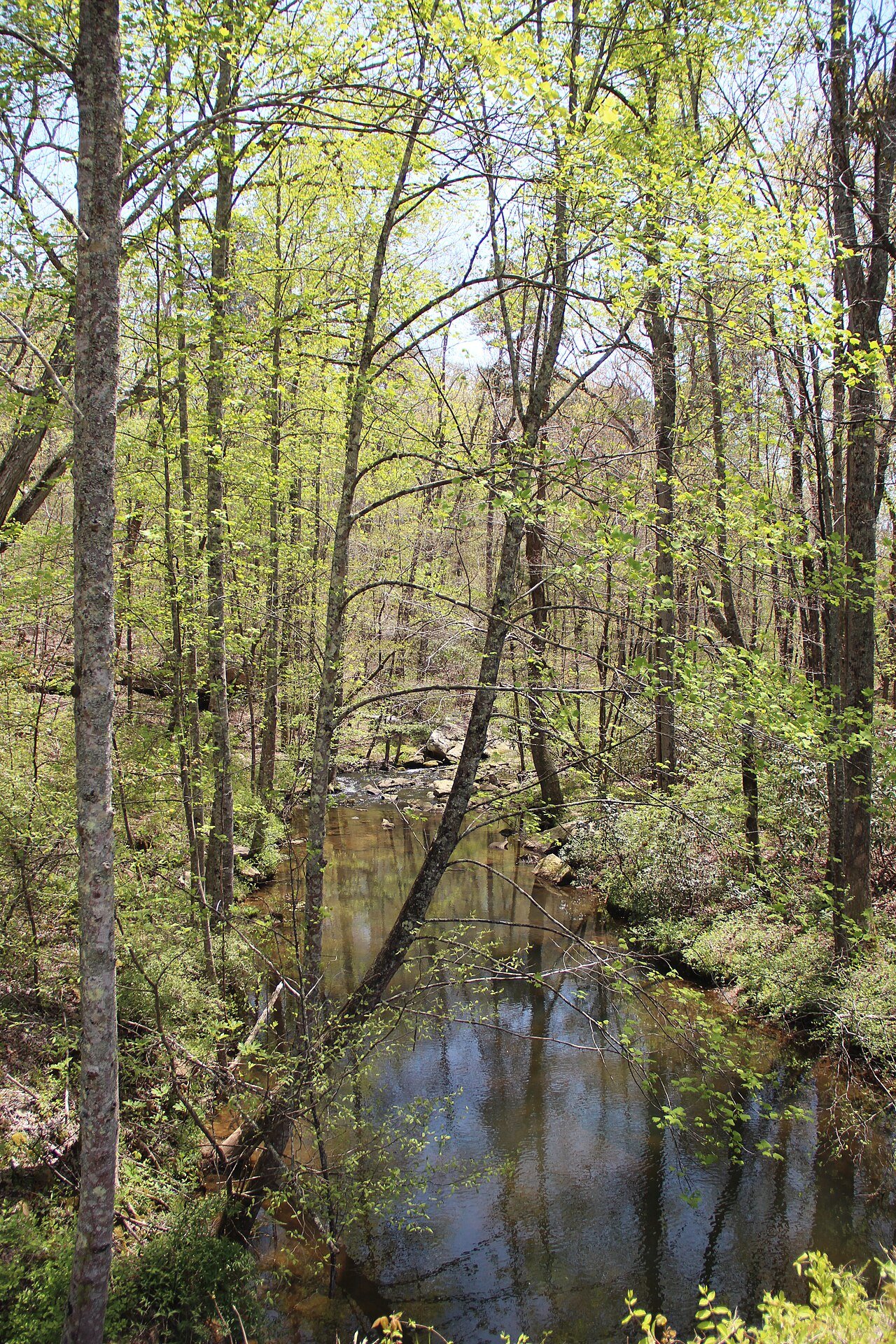
An 11-mile Canyon Rim Drive runs along the western edge with regular pullouts at overlooks that drop your eye into the gorge’s green depths. At the southern end of the preserve, Canyon Mouth Park is the main access point for swimming in the Little River’s clear water, which slides over smooth sandstone bedrock and pools up into some of the finest freshwater swimming in the Southeast through the summer.
For hikers, the canyon floor trail is the real prize — scrambling through boulders, crossing tributary streams on stepping stones, and moving through forest that still feels wild. The Eberhart Trail drops about 500 feet from the rim to the river in 0.75 mile of steep switchbacks. Experienced hikers and rock climbers will find technical routes on the canyon walls that rarely see more than a handful of parties on any given weekend, even in prime season.
That ecological isolation shows in the canyon’s biodiversity. Several plant species found here grow nowhere else in Alabama, and the river holds one of the cleanest, most varied freshwater fish communities in the state. Spring brings dense wildflower displays along the rim, and fall color usually peaks in late October, when hardwood canopies of red, orange, and yellow frame the walls in views that hold their own against any Southern Appalachian fall.
Cheaha State Park: Summit Views and Appalachian Heritage
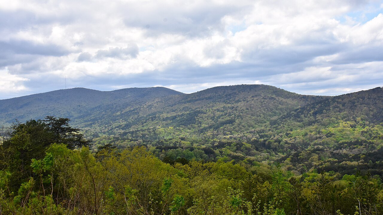
Mount Cheaha is Alabama’s highest point at 2,407 feet — modest by Appalachian standards, but it stands out against the rolling piedmont that surrounds it. Cheaha State Park takes in the summit and a stretch of the adjoining Talladega National Forest, and it is the closest thing to a true mountain experience the state has.

You can reach the summit by road — a short walk from the parking area — or on foot from several trailheads around the park. The Bald Rock National Recreation Trail, a 0.6-mile boardwalk loop from the main lot, is the most popular route, trading minimal effort for dramatic granite outcrops and wide views across the forest below. For a slightly more rugged walk, the 0.6-mile Pulpit Rock Trail winds through forest to a detached sandstone formation with unobstructed views over the valley.
Cheaha also sits on the Pinhoti Trail, Alabama’s longest backpacking route, which runs roughly 171 miles across the state (and continues into Georgia as part of a 335-mile system, about 141 of those Alabama miles threading the Talladega National Forest). Multi-day trips on the Pinhoti deliver solitude and real wilderness character within easy driving distance of Birmingham — a payoff hikers across the region have quietly enjoyed for decades. Trailhead camping, primitive backcountry sites, and a handful of hostels along the route keep the logistics manageable.
Rock climbing at Cheaha is one of the southeast’s better-kept secrets. The granite outcrops and sandstone faces across the park and surrounding national forest hold routes from beginner top-rope problems to advanced trad lines, on rock that sees far less traffic than the region’s better-known crags. Horseshoe Bend and the Rock Garden are the main zones; local climbing clubs can fill in current access and conditions.
Gulf State Park: Where Land Meets Sea
Gulf State Park’s 6,150 acres cover the full ecological range of Alabama’s Gulf Coast — from the dune-backed beaches on the Gulf of Mexico side to the dark-water lakes, pine savannas, and coastal wetlands inland. A recently upgraded trail and boardwalk system lets visitors explore all of it without a boat, which makes the park one of the easiest places to get into nature on the Alabama coast.
The Hugh S. Branyon Backcountry Trail, a 28-mile network of paved and natural-surface paths, threads through every major habitat in the park. A morning walk on the lakeshore trails during spring migration can turn up a long bird list: the park sits on the Mississippi Flyway and the Gulf Coast migration corridor, and rare warblers, tanagers, and shorebirds show up in numbers that pull birders in from across the region. The freshwater lakes hold largemouth bass, bluegill, and catfish, with good fishing access throughout the trail network.
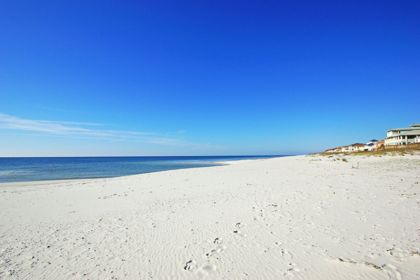
The Gulf beach — the park’s best-known feature — runs more than two miles of undeveloped coastline managed for both conservation and recreation. Nesting sea turtles, mostly loggerheads, return each summer, and the park’s nest-monitoring program lets volunteers and visitors witness emergence events with the right permits. The water here is clean, the waves gentle enough for young swimmers, and the crowds, even in summer, thinner than at most Gulf beaches of this quality.
Lake Guntersville: Bass Fishing Capital of the South
Lake Guntersville in northeastern Alabama is to largemouth bass fishing what Augusta National is to golf: a place with a worldwide reputation that locals treat as a plain fact of life. The Tennessee River’s impoundment behind Guntersville Dam created a 69,000-acre reservoir whose clear water, broad grass beds, and varied shoreline add up to ideal habitat for bass of uncommon size and density.
The lake has hosted more major professional bass tournaments than any other body of water in the country, and its record catches are talked about with something close to reverence among anglers. Visitors with a boat can fish on their own, hire one of the local guide services, or rent from the marinas around Guntersville. A guided day on the water with one of those professionals is the kind of fishing that justifies the trip from anywhere in the country.
Lake Guntersville State Park sits on a peninsula along the eastern shore, with camping, cabins, a golf course, a swimming beach, and boat-ramp access for anyone without a private marina slip. The lodge and restaurant put comfortable rooms and lake views within reach — a practical base for a few days of fishing or hiking in the region.
Wheeler National Wildlife Refuge: World-Class Bird Watching
Wheeler National Wildlife Refuge in northern Alabama protects 35,000 acres of Tennessee River bottomlands, wetlands, and upland forest — critical habitat for one of the largest gatherings of wintering waterfowl in the eastern United States. Its winter sandhill crane population, often 15,000 to 20,000 birds, anchors the birding calendar. Watching these tall, bugling cranes fill the sky over the Limestone County farm fields is one of the wildlife sights that stays with you long after you leave the Southeast.
The refuge’s visitor center keeps observation decks open over managed wetland fields where cranes, ducks, and geese gather in big numbers from November through February. You need no special gear — the birds are close, the viewing is reliably good, and the staff are happy to point out what you are looking at. Bring a spotting scope or a long lens and the same fields turn up raptors, sparrows, and other winter specialties.
Conecuh National Forest: Longleaf Pine Wilderness
The Conecuh National Forest in south-central Alabama is the state’s most ecologically important forested landscape and one of the best surviving examples of longleaf pine ecosystem anywhere in the Southeast. The Conecuh Trail, a 20-mile linear route through the forest, runs through open pine savannas of rare beauty — the long-needled trees stand far enough apart to let light reach a forest floor carpeted in native grasses and wildflowers, and that openness supports a remarkable range of birds, insects, and reptiles.
Red-cockaded woodpeckers, an endangered species that depends on mature longleaf pine, keep active colony sites throughout the forest, and patient visitors who seek out the Forest Service’s marked colonies have a real chance of seeing them. Gopher tortoises, whose burrow systems shelter dozens of other species, turn up in the open sandy stretches. Come spring, the longleaf understory fills with pitcher plants, sundews, and native orchids — some of the rarest plant communities on the continent.
Paddling Alabama: The State’s Underrated Water Trails
Alabama’s rivers hold some of the most varied paddling in the Southeast. North of Birmingham, the Upper Cahaba River ranks among the most biodiverse rivers in North America, with a roster of endemic aquatic species — snails, mussels, fish, and crayfish found nowhere else on earth — that owes much to how little the river has been disturbed. Day trips from put-ins near Trussville or Harpersville run clear, boulder-strewn water through mixed forest and limestone bluffs that feel far from anywhere, despite the city being right there.
Over in Blount County, the Locust Fork of the Black Warrior River throws up Class II–III whitewater when levels cooperate — the most accessible moving water in central Alabama, and a welcome alternative to the crowded put-ins of Tennessee and Georgia for Birmingham-area paddlers. And the Little River, already noted for its swimming holes, makes for easy flat-water paddling in its calmer upstream stretches.
Best Seasons for Alabama Outdoor Recreation
- Spring (March–May): Best overall. Wildflowers, migrating birds, comfortable temperatures, rivers at good levels for paddling. Peak season for hiking, wildlife viewing, and spring bass fishing.
- Summer (June–September): Best for Gulf Coast beach and water activities. Highlands hiking can still be pleasant in early morning. Heat and humidity limit midday activity statewide.
- Fall (October–November): Outstanding. Foliage color in northeastern Alabama typically peaks in late October. Fishing is excellent. Temperatures are ideal for hiking and camping. The best-kept outdoor secret in the state.
- Winter (December–February): Underrated for mild-weather outdoor activities. Wheeler Refuge waterfowl viewing is at its peak. Many trails are empty. Gulf Coast has pleasant mild days interspersed with cold fronts.
Planning Your Alabama Outdoor Trip
Most Alabama outdoor destinations are within easy driving distance of each other. Little River Canyon to Cheaha is 45 minutes. Cheaha to Birmingham is 90 minutes. Birmingham to Conecuh National Forest is 2.5 hours. A long weekend can realistically combine mountain hiking with Gulf beach time if you are willing to drive.
Camping in Alabama’s state parks is well kept and priced well below comparable spots in better-known destinations. The system as a whole is excellent and underused — a site that would need a reservation weeks out in the Smokies or Blue Ridge can often be booked a few days ahead at an Alabama park, even in peak season.
Bring bear spray if you’re camping in the northern highlands (black bear populations are growing), always check for recent weather warnings before hiking during tornado season (March–May), and tell someone your plans if you’re going deep into any of the national forest areas. Beyond those basics, Alabama rewards the adventurous with outdoor experiences that consistently exceed what visitors expected to find.
Frequently Asked Questions
What makes Little River Canyon one of Alabama’s best outdoor destinations?
Little River Canyon National Preserve in northeastern Alabama (DeKalb and Cherokee Counties) is one of the deepest gorges east of the Mississippi, carved by Little River — one of the longest rivers in North America that runs entirely atop a mountain — as it drops off the edge of Lookout Mountain. The gorge walls reach over 600 feet in depth. The 11-mile Canyon Rim Drive follows the western edge with regular pullouts at dramatic overlooks. Canyon Mouth Park at the southern end provides swimming access in clear water running over smooth sandstone bedrock — some of the finest freshwater swimming in the Southeast during summer. The Eberhart Trail descends about 500 feet from the rim to the river in 0.75 mile of steep switchbacks. Spring brings wildflower displays of unusual richness along the canyon rim, and fall color peaks in late October with hardwood canopies framing the gorge walls.
What does Cheaha State Park offer for hikers and outdoor enthusiasts?
Mount Cheaha is Alabama’s highest point at 2,407 feet, and Cheaha State Park encompasses the summit within the surrounding Talladega National Forest terrain. The Bald Rock National Recreation Trail (0.6-mile boardwalk loop from the main parking area) is the most popular approach, offering dramatic granite outcrops with wide views for minimal effort. The Pulpit Rock Trail (0.6 mile) winds through forest to a detached sandstone formation with unobstructed valley views. The Pinhoti Trail — Alabama’s longest backpacking route, running about 171 miles across the state (roughly 141 of them through the Talladega National Forest, with the trail continuing into Georgia as part of a 335-mile system) — passes through Cheaha State Park, offering multi-day wilderness trips within easy driving distance of Birmingham. Rock climbing at Cheaha is a quiet draw for the southeastern climbing community, with granite outcrops and sandstone faces offering routes from beginner top-rope to advanced trad climbing that see far less traffic than comparable rock in more famous destinations.
What is Gulf State Park and what makes it worth visiting?
Gulf State Park’s 6,150 acres encompass the full ecological spectrum of Alabama’s Gulf Coast — from dune-backed beaches on the Gulf of Mexico to dark-water lakes, pine savannas, and coastal wetlands on the inland side. The Hugh S. Branyon Backcountry Trail (a 28-mile network of paved and natural-surface trails) threads through all the park’s major habitats. The Gulf beach spans over two miles of undeveloped coastline managed for conservation as well as recreation. Nesting sea turtles (primarily loggerheads) return each summer, and the park’s nest monitoring program allows volunteers and visitors to witness emergence events with proper permits. Spring migration brings long bird lists as the park sits on the Mississippi Flyway and Gulf Coast migration corridor — rare warblers, tanagers, and shorebirds appear in numbers that draw birders from across the region.
Why is Lake Guntersville considered the bass fishing capital of the South?
Lake Guntersville in northeastern Alabama is one of the most renowned largemouth bass fishing destinations in the world. The Tennessee River impoundment created a 69,000-acre reservoir with extraordinary aquatic productivity — clear water, extensive grass beds, and shoreline structure that creates ideal habitat for bass of unusual size and density. The lake has hosted more major professional bass fishing tournaments than any other body of water in the country, and record fish catches are objects of genuine reverence in the fishing community. Lake Guntersville State Park on the lake’s eastern shore provides camping, cabins, a golf course, swimming beach, and boat ramp access. For serious anglers, a guided day on Guntersville with one of the lake’s experienced professional guides is considered a legitimately outstanding experience that justifies the trip to Alabama from anywhere in the country.
What are the best seasons and locations for wildlife watching in Alabama’s outdoors?
Alabama’s most remarkable wildlife event is the winter sandhill crane and waterfowl congregation at Wheeler National Wildlife Refuge near Decatur — tens of thousands of sandhill cranes winter here, and observation platforms give close-range views of birds that should, by rights, be inaccessible. The refuge is also one of the best places in the Southeast to see whooping cranes, the most endangered large bird in North America, which occasionally overwinter here. Gulf State Park’s location on the Mississippi Flyway makes it exceptional for spring and fall warbler migration (April–May and September–October). The Conecuh National Forest in southern Alabama protects one of the South’s finest surviving longleaf pine landscapes — among the most endangered ecosystems in North America — with resident red-cockaded woodpeckers, gopher tortoises, and indigo snakes. Spring wildflower season (March–April) in the northeast Alabama mountains produces displays in Little River Canyon and the Pinhoti Trail corridor that rival anything in the Southern Appalachians.